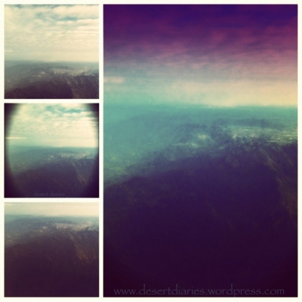
The Sarawat or the Sarat is a mountain range running parallel to the western coast of the Arabian Peninsula and is among the Peninsula’s most prominent geographical features. The Sarawat starts from the border of Jordan in the north to the Gulf of Aden in the south, running through Saudi Arabia and Yemen. The range’s northern half, known as Sarat al-Hejaz is about 2,100 meters high, while the middle and southern portions (Sarat ‘Asir and Sarat al-Yemen, respectively) can reach heights of over 3,300 meters.
This mountain range is the largest in the Arabian Peninsula. These mountains are mainly rocky and some can contain vegetation. Many of the peaks are fairly young and jagged, but some are smoother from weathering. Rugged mountains can reach up to 3,000 meters, with Jabal Sawda (aka Mt. Soodah) being the highest. {Photo of Mt. Soodah forthcoming}
Geologically, the Sarawat are part of the Arabian Shield and are made up mostly of volcanic rock. The western slopes end abruptly near the Red Sea coast, while the eastern side of the mountain range slopes downward more gently and is intersected by valleys that support agriculture, especially in the southern reaches where the mountains face heavy rainfall.
*Slightly adapted excerpts taken from Tourist Link.com
The white “specks” on the peaks are homes within villages. Some villages contain lush farms, more so of fruits and veggies than livestock.
